Products / Greenhouse Gas Emissions from Fires
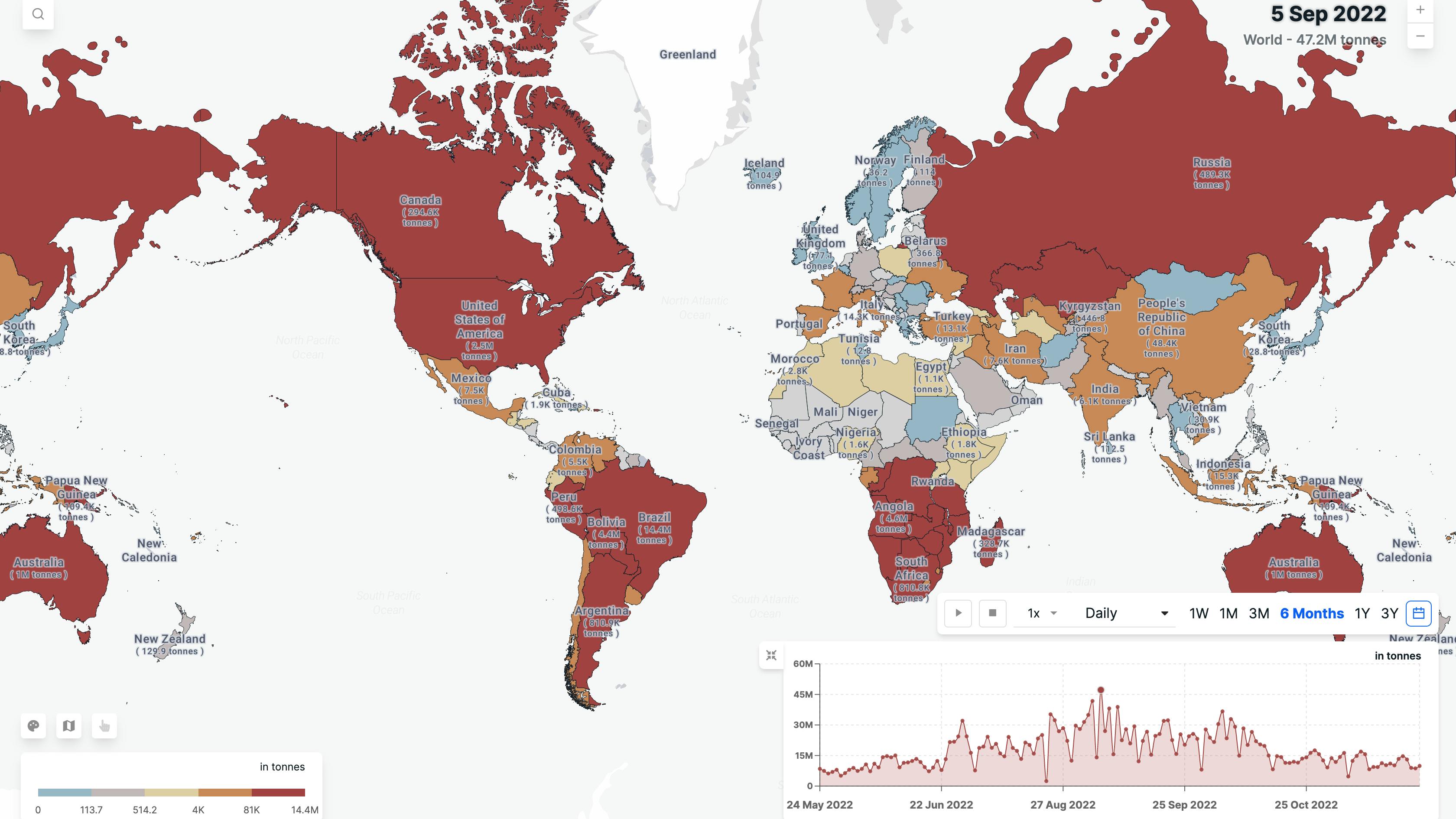
The dataset provides detailed & high-frequency estimations of the Greenhouse gas (GHG) emissions from the fire events. These fire events release gases such as carbon dioxide (CO2), methane (CH4), and nitrous oxide (N2O) into the atmosphere as a result of biomass burning.
Wildfires, forest fires, and Agricultural burning are all sources of GHG emissions from fires. These emissions contribute to the greenhouse effect, the process by which certain gases in the atmosphere trap heat and cause the Earth's temperature to rise.
Parameters
Fire Count
It provides near-real-time information about the locations of active fires in various vegetation types (e.g. cropland, forest, shrubland, etc).
Fire Radiative Power
Fire Radiative Power is the rate of emitted radiative energy by the fire at the time of the observation. FRP depicts the pixel-integrated fire radiative power in MW (megawatts).
Carbon Dioxide Emissions
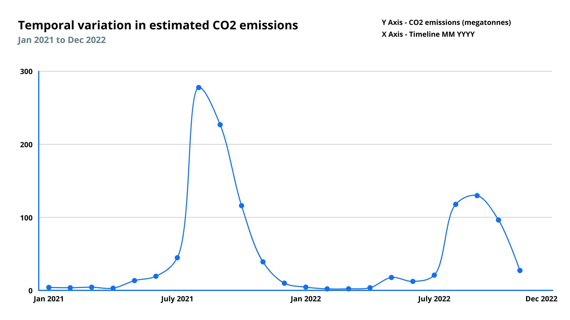
Total estimated CO2 emissions in tonnes generated from biomass burning across the world.
Nitrous Oxide Emission
Total estimated N2O emissions in tonnes generated from biomass burning across the world.
Methane Emission
Total estimated CH4 emissions in tonnes generated from biomass burning across the world.
Gross CO2 Emissions
Total estimated gross CO2 emissions in tonnes calculated using IPCC AR6 global warming potentials of CO2, N2O and CH4
Features
Methodology
Our approach relies primarily on a particular attribute of fire incidence i.e. FRP (Fire Radiative Power), which measures the amount of energy released by fire/fires detected by satellites. Using various other parameters like combustion coefficients (these describe what vegetation is burned) & emissions factors (which explain gaseous pollutants), we can estimate emissions from these fire incidents.
The fire counts are derived from the number and location of active fire incidents captured by satellite aggregated across administrative units.
Blogs
Frequency
Daily
Spatial resolution
375 meter
Coverage
Global
Data type
Vector
Availability


