Environmental data for a new world
Thoughtfully curated environmental data points.
Blue Sky Products
Displaying 11 datasets.
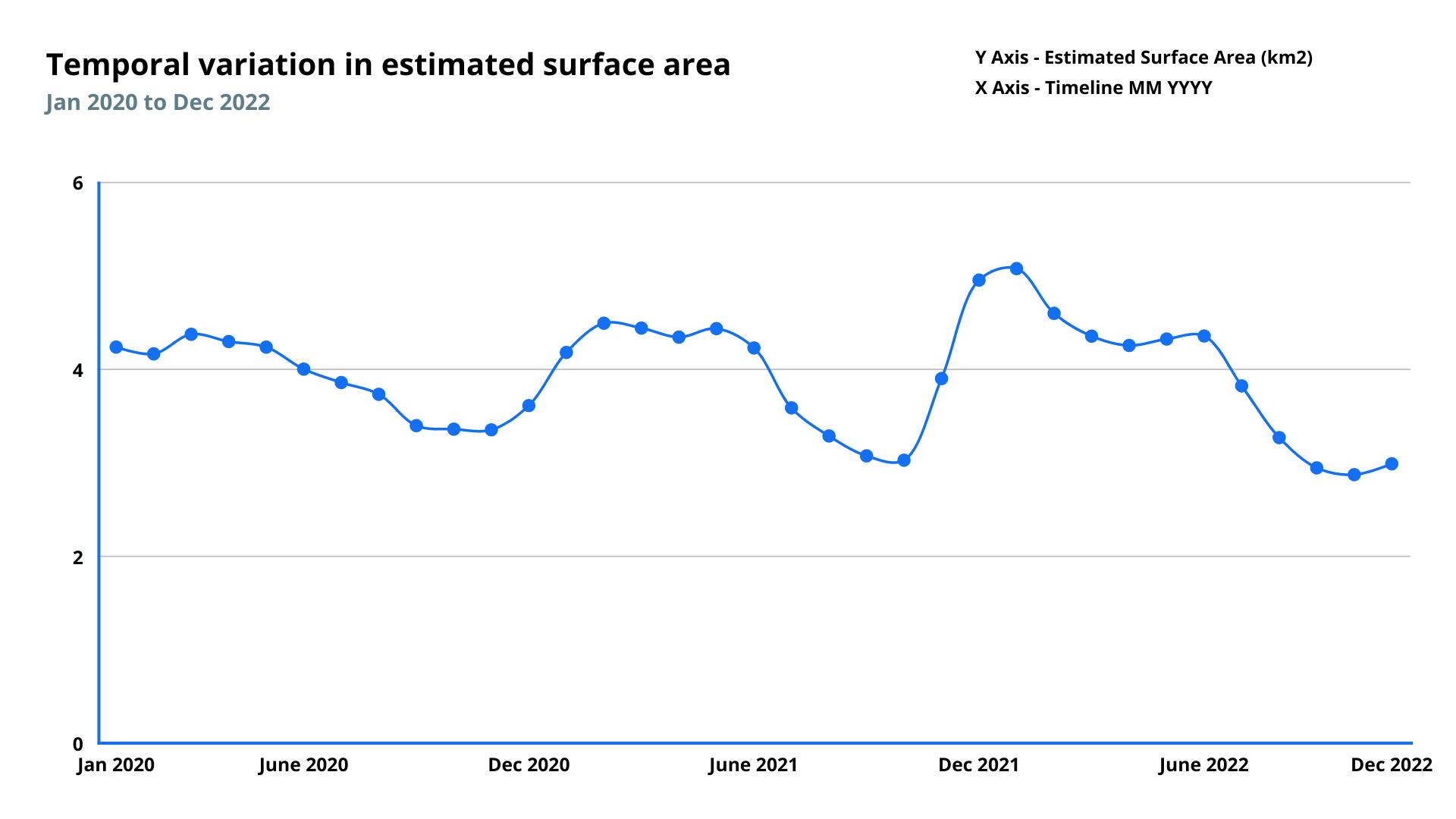
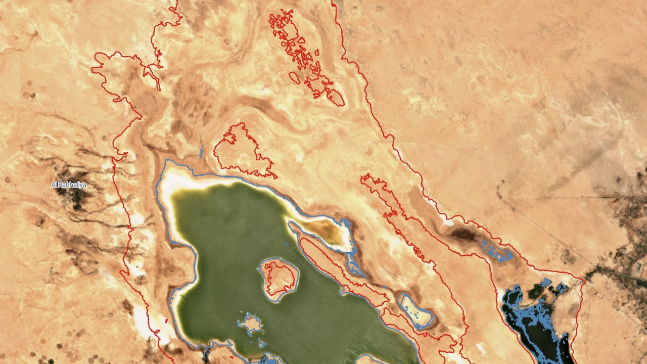
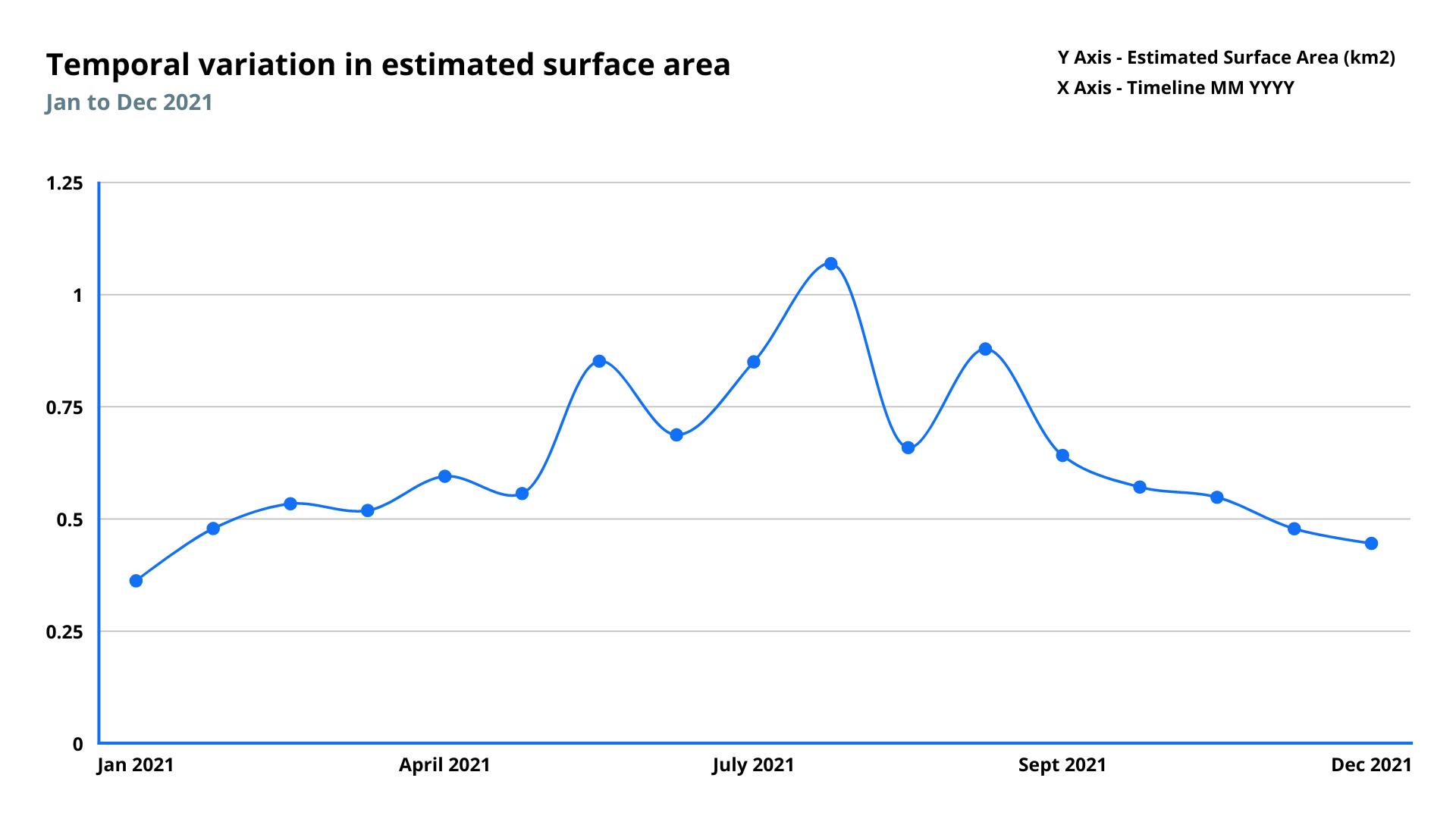
Monitors and measures surface area of water bodies
Frequency
Weekly
Spatial resolution
10 meter
Coverage
Global
Data type
Vector
Availability
From 2019
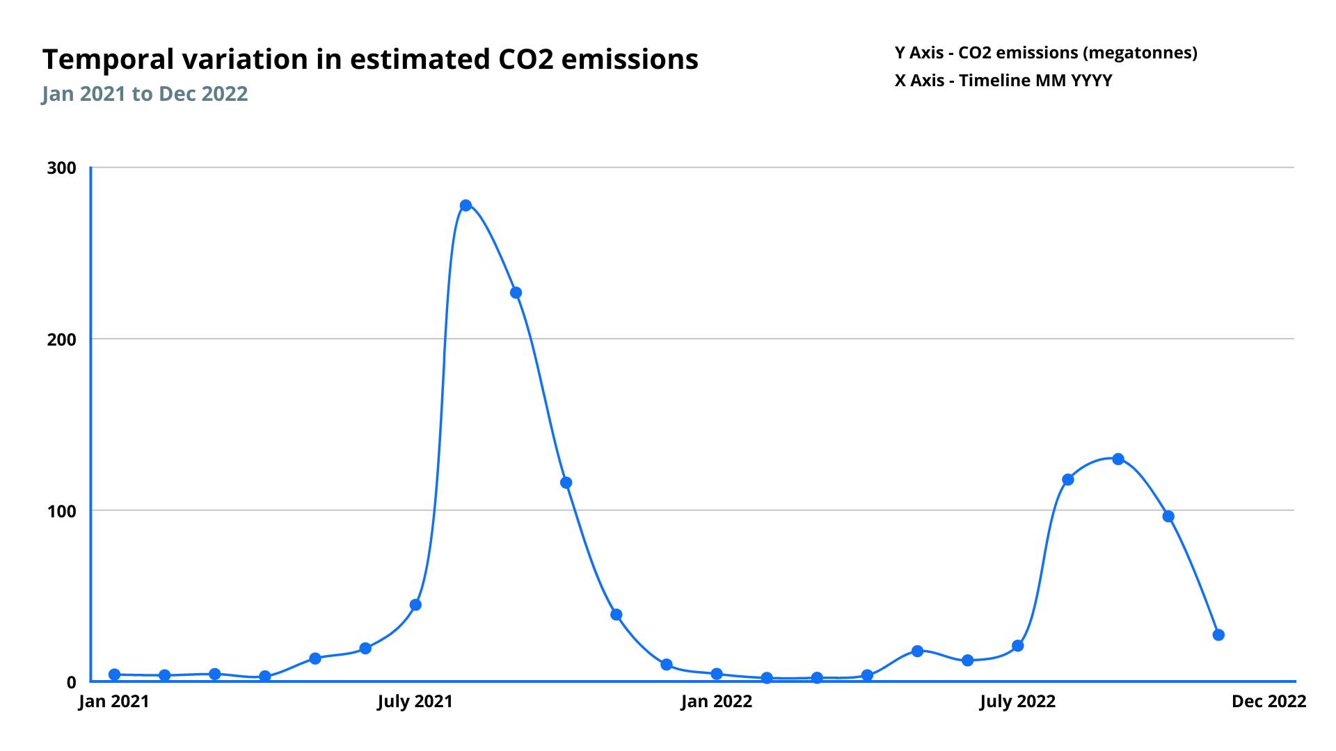
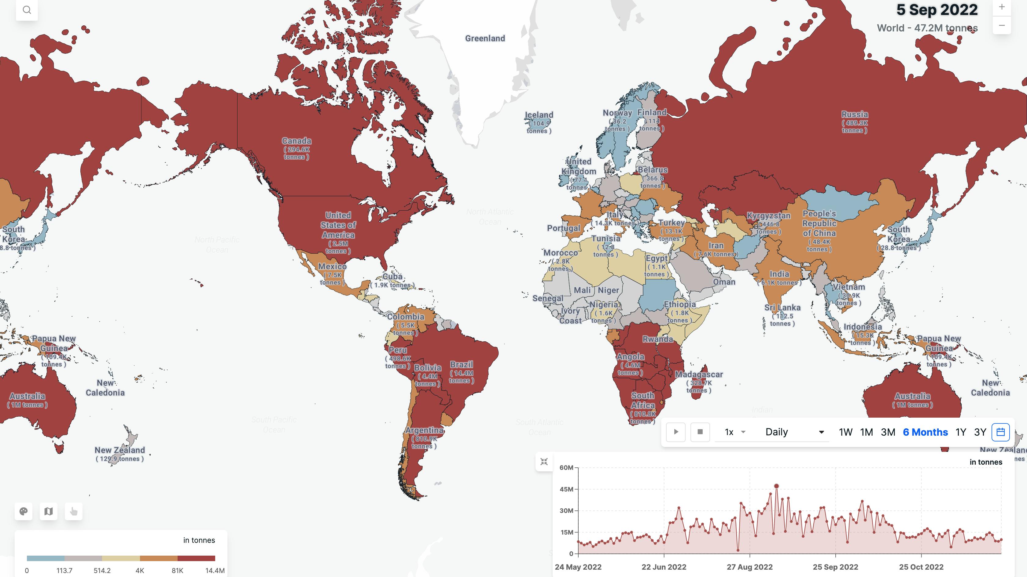
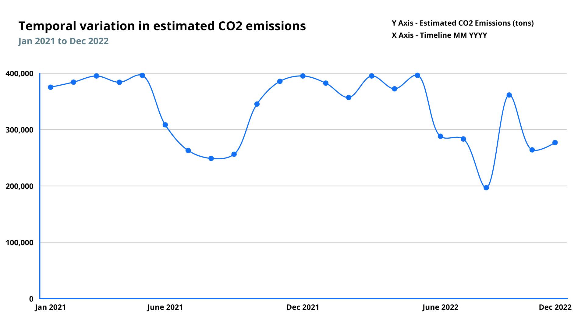
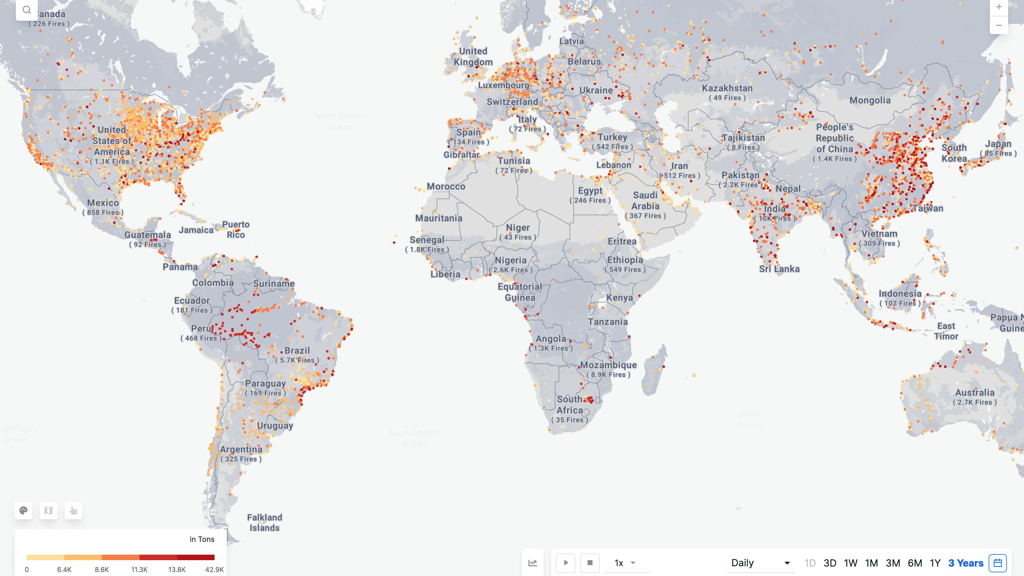
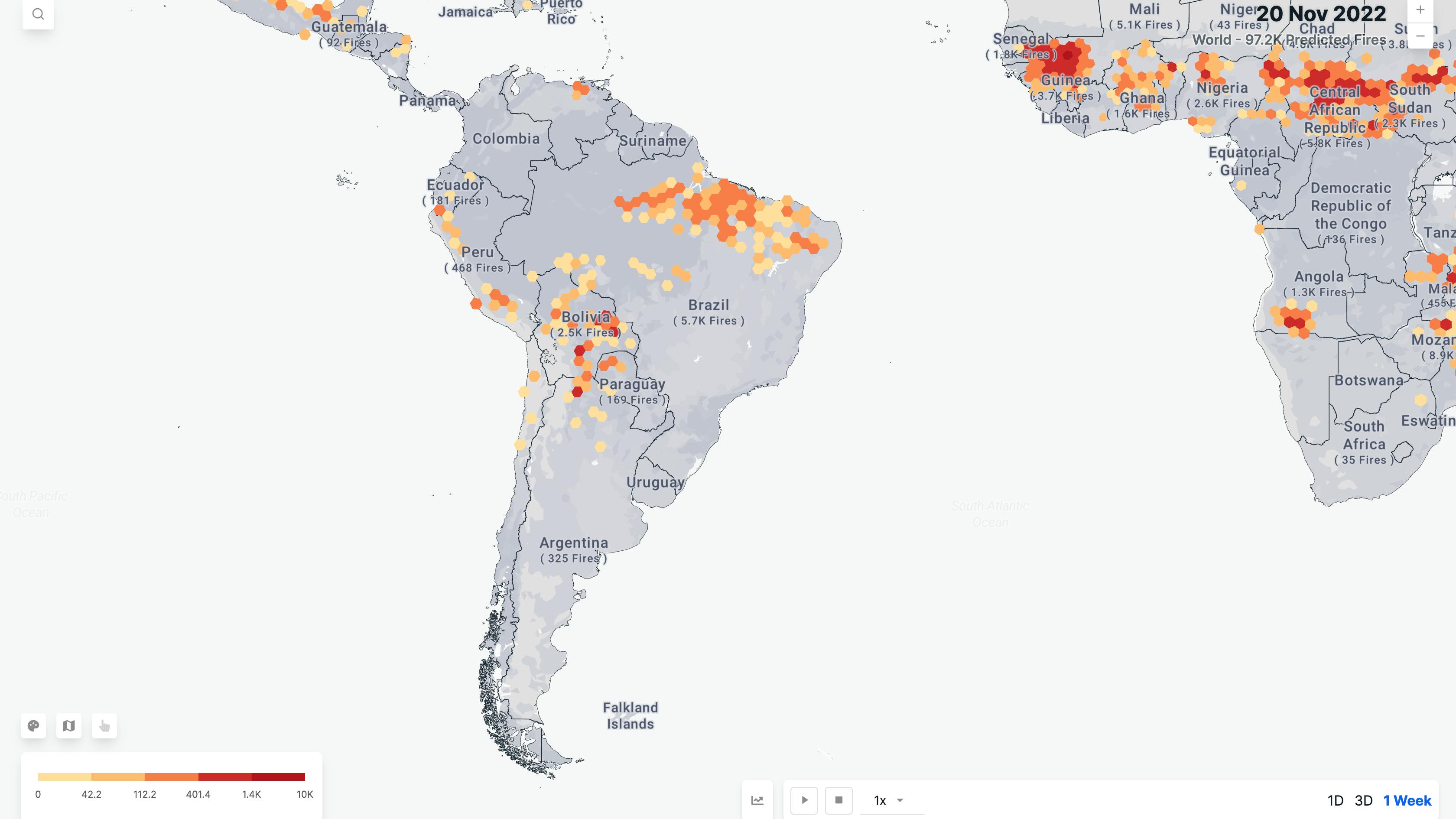
Monitors fire events and measures the greenhouse gas emissions released into the atmosphere as a result of the biomass burning.
Frequency
Daily
Spatial resolution
375 meter
Coverage
Global
Data type
Vector
Availability
From 2015
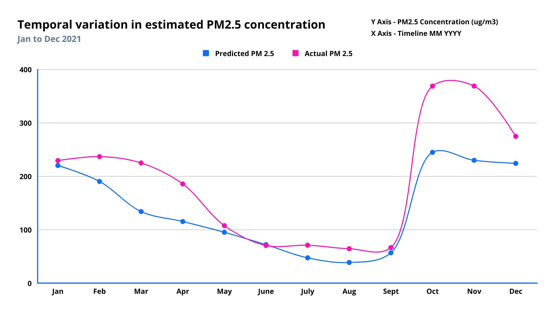
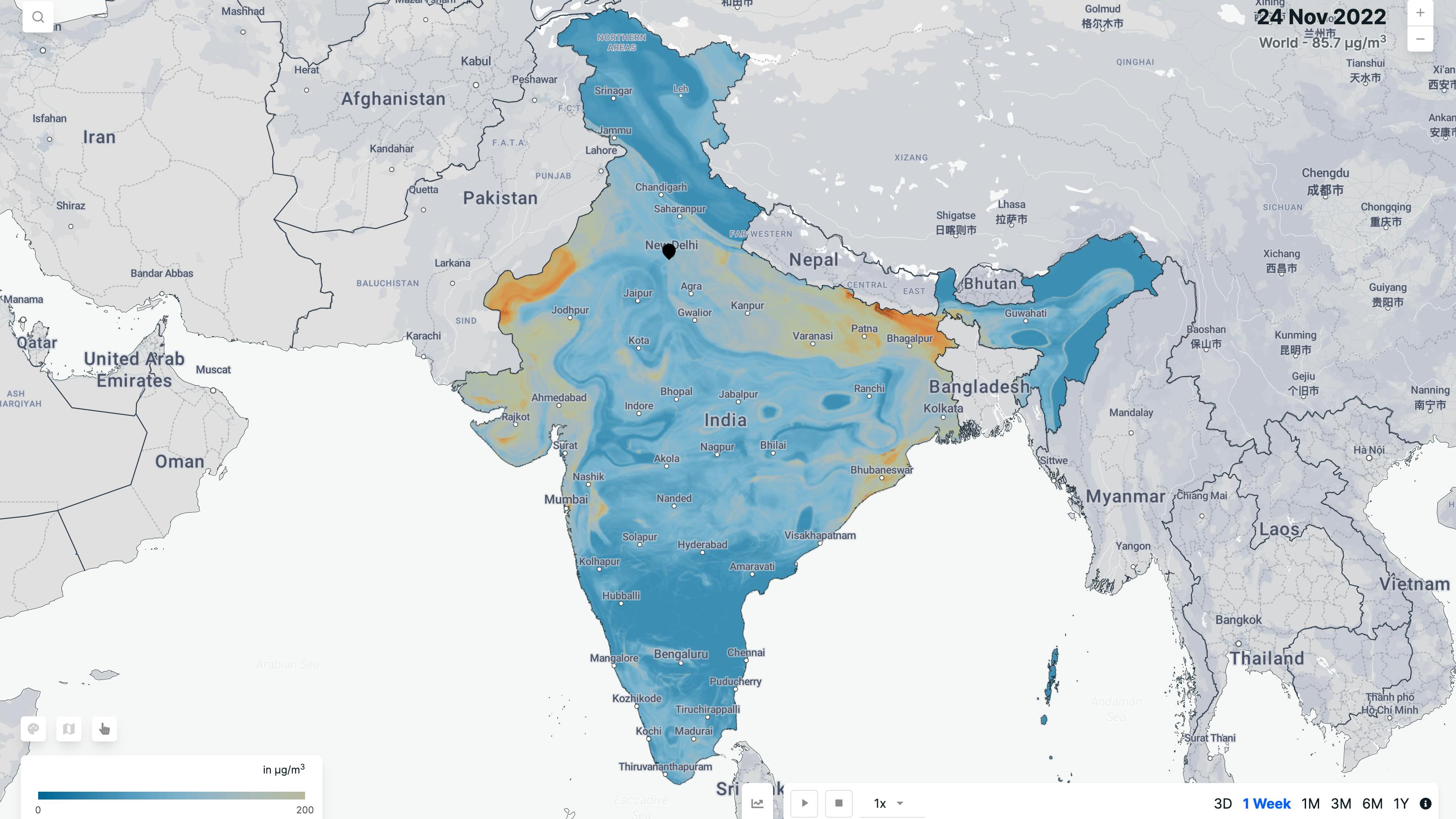
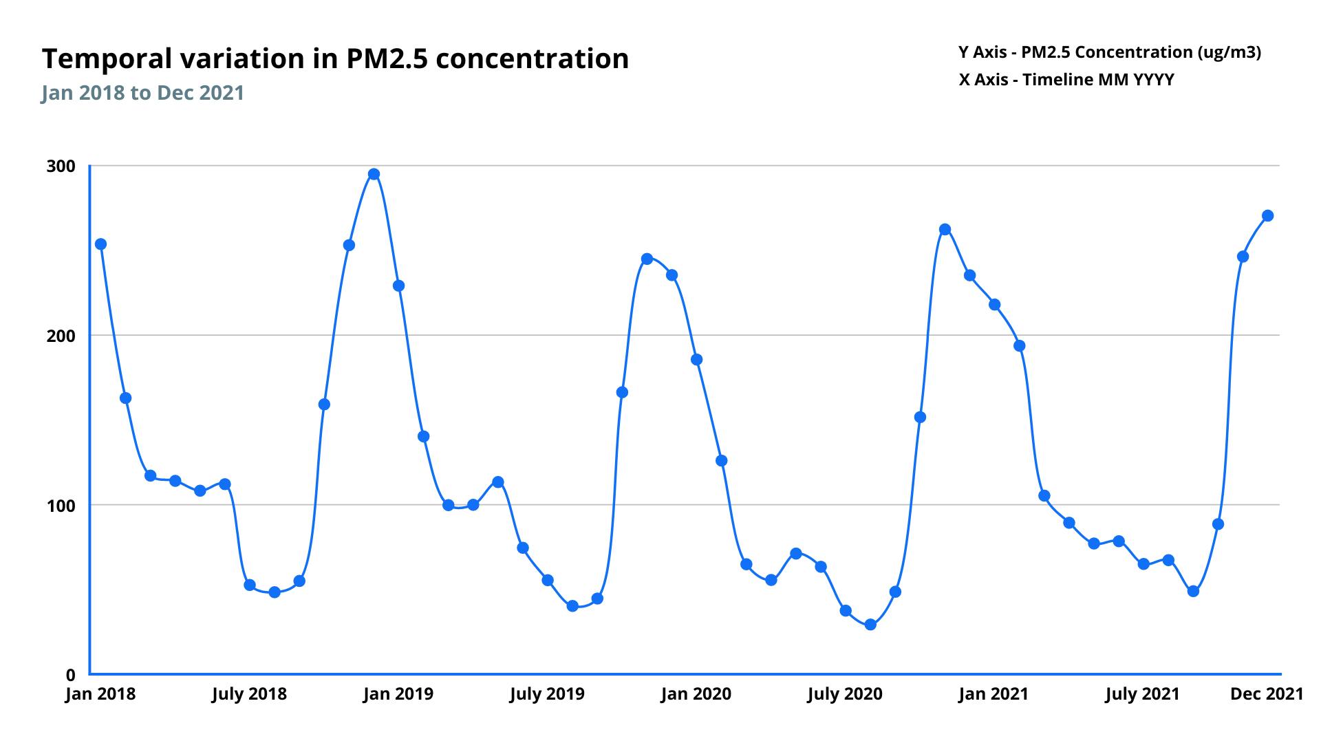
Monitoring air quality in regions without ground-based monitors using satellite data.
Frequency
Daily
Spatial resolution
1 kilometer
Coverage
India
Data type
Raster
Availability
From 2019
Monitors and measures emissions from power plants
Frequency
Daily
Spatial resolution
N/A
Coverage
Global
Data type
Vector
Availability
From 2019
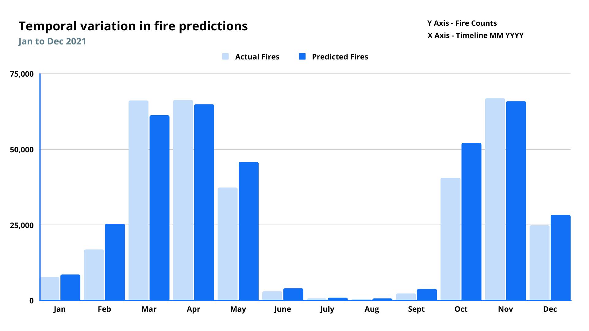
Forecasts biomass fire events
Frequency
Weekly
Spatial resolution
25 kilometer
Coverage
Global
Data type
Vector
Availability
Forecast data for next 7 days
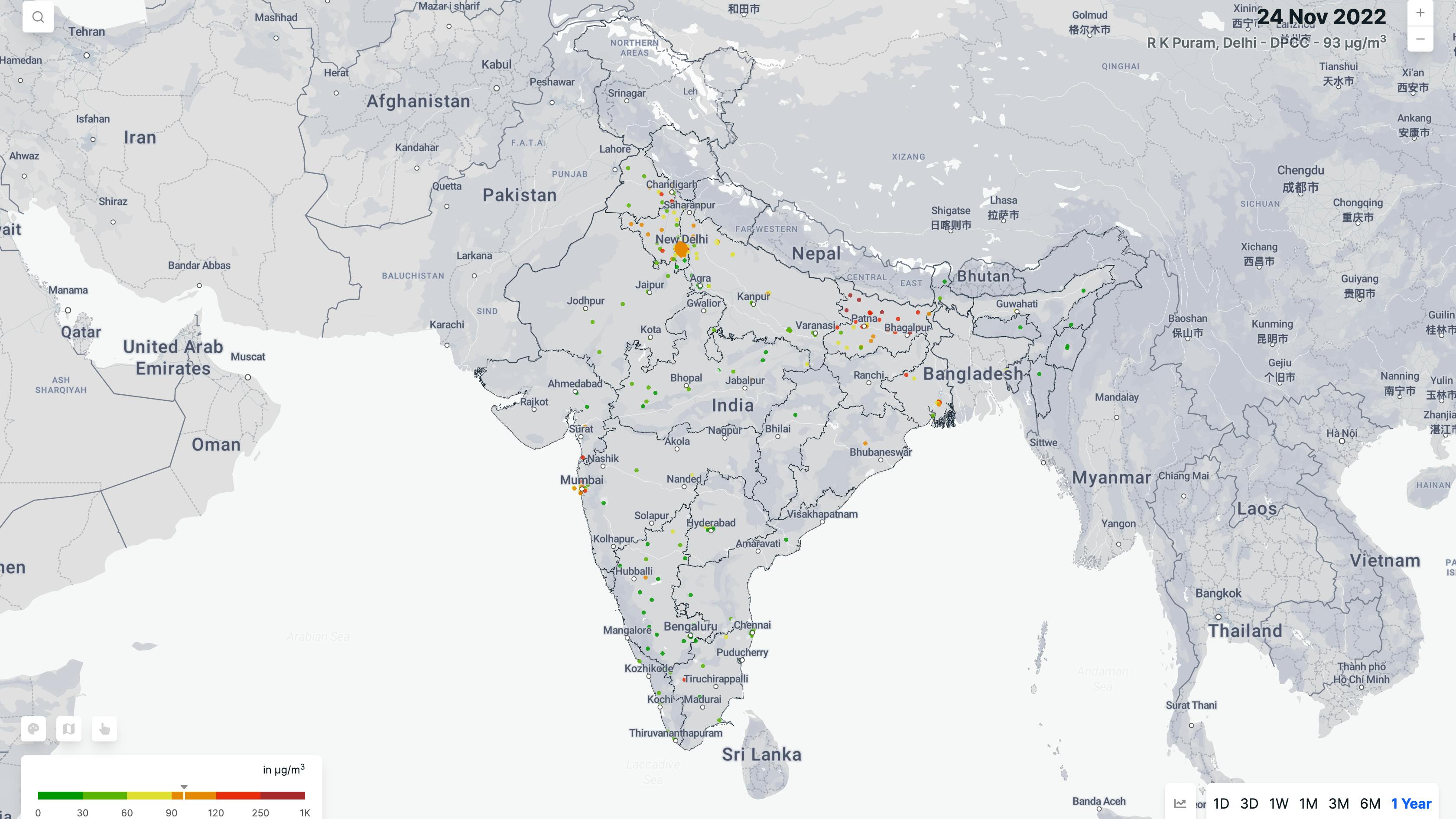
Aggregates air quality data from all ground monitor network
Frequency
Daily
Spatial resolution
N/A
Coverage
India
Data type
Vector
Availability
From 2017
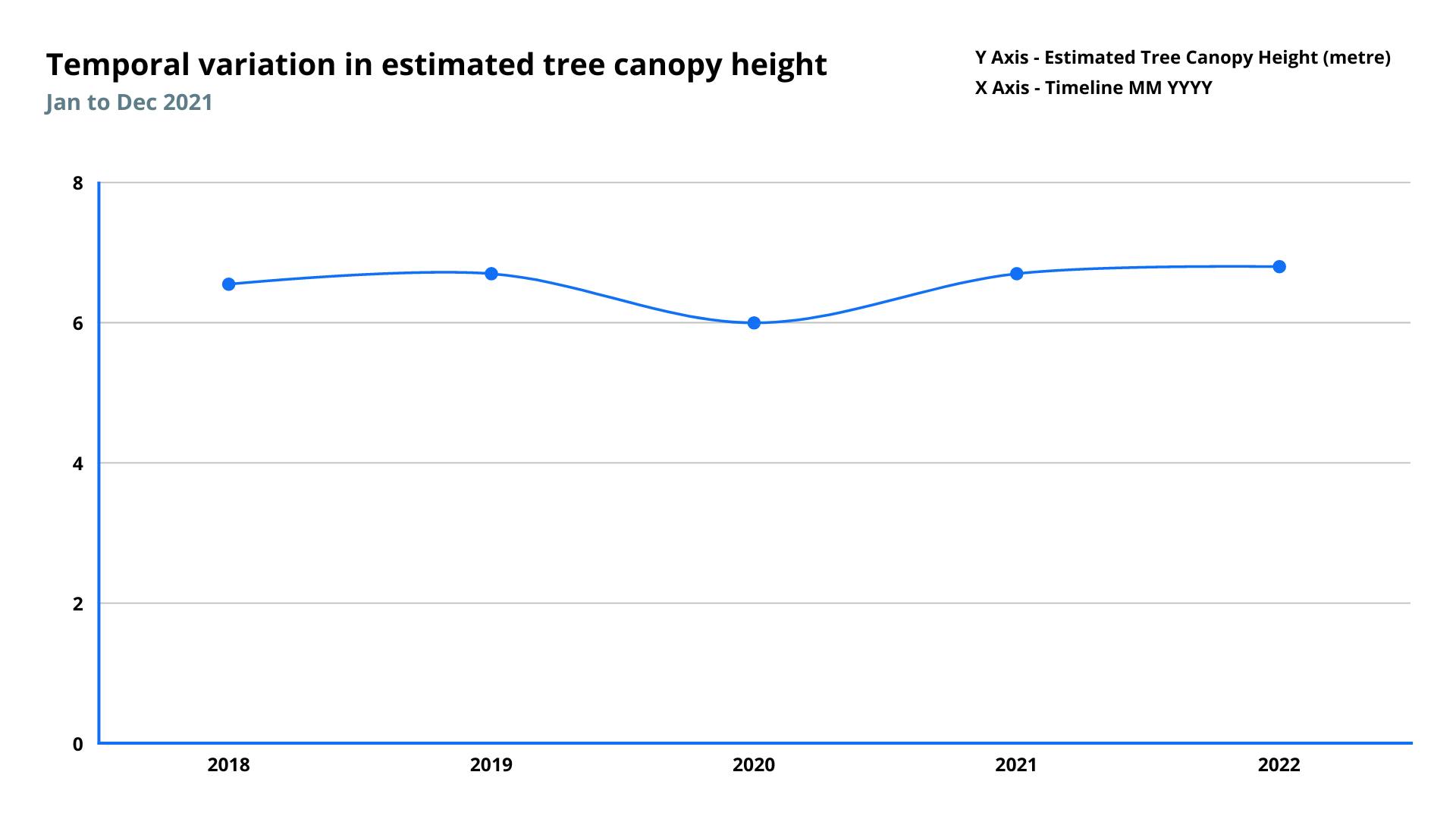
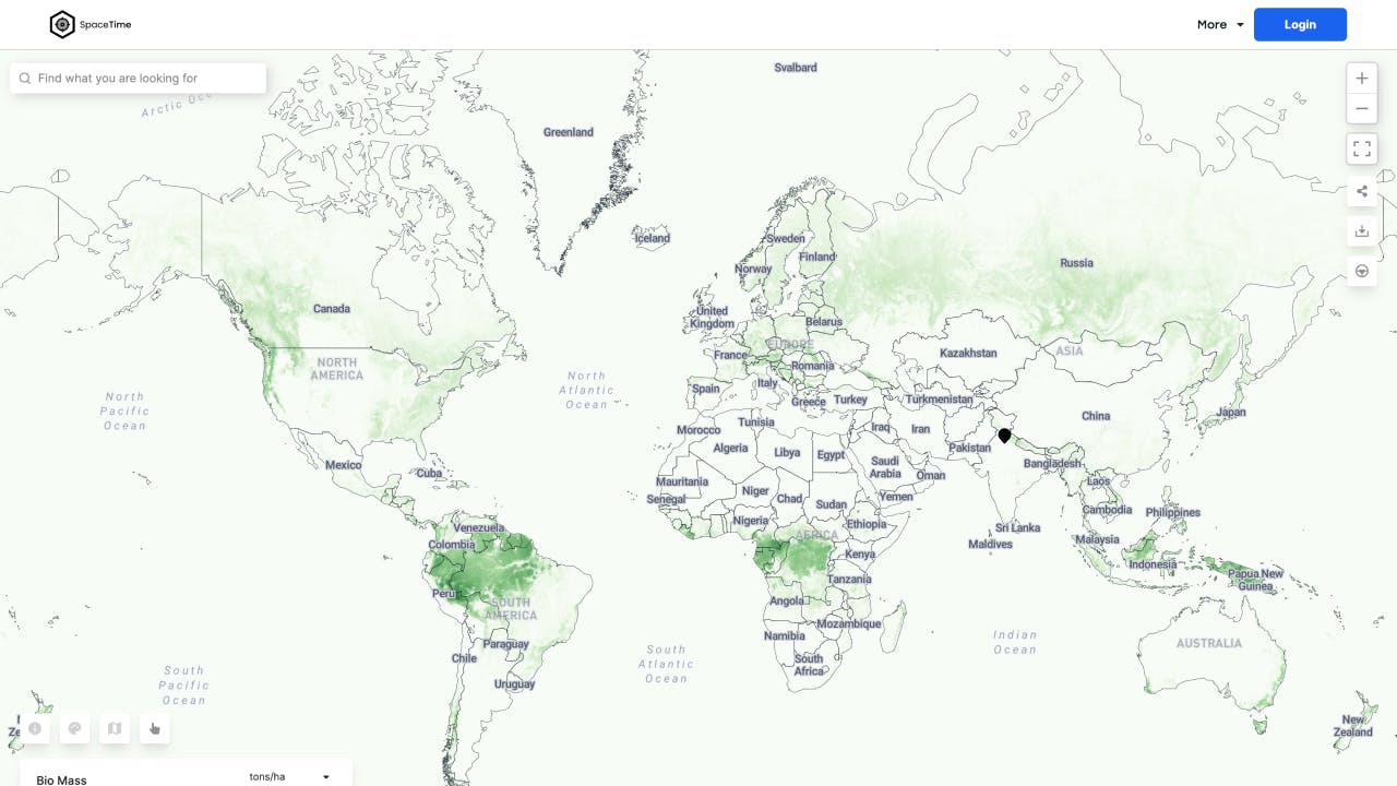
Monitors land based carbon sequestration and quantifies sequestered carbon
Frequency
Monthly
Spatial resolution
30 meter
Coverage
Global
Data type
Raster
Availability
From 2017
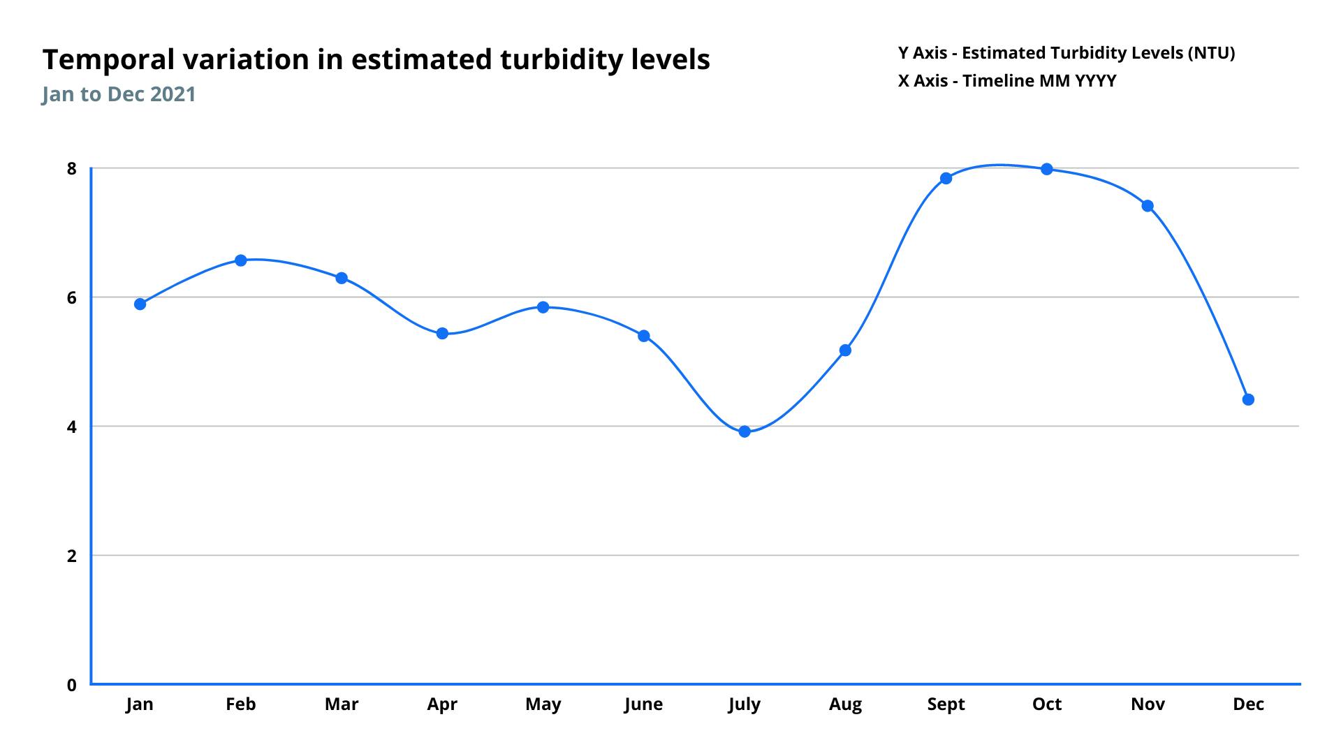
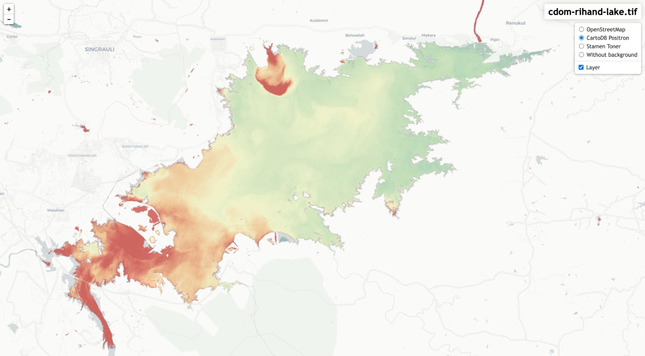
Monitors and measures surface water quality of water bodies
Frequency
Weekly
Spatial resolution
10 meter
Coverage
Global
Data type
Raster
Availability
From 2019
Expected Launch
Q4 2022
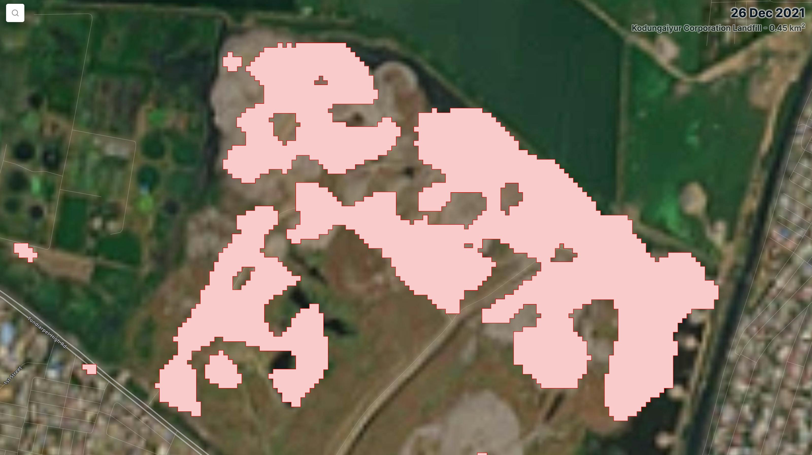
Monitors and measures emissions from landfills
Frequency
Weekly
Spatial resolution
10 meter
Coverage
Global
Data type
Vector
Availability
From 2019
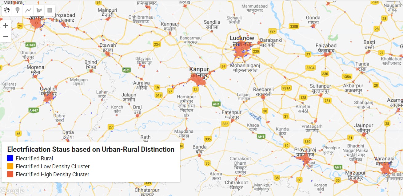
Monitors electrified areas and measuring access to electricity
Frequency
Daily
Spatial resolution
500 meter
Coverage
Global
Data type
Raster
Availability
From 2018
Expected Launch
Q4 2022
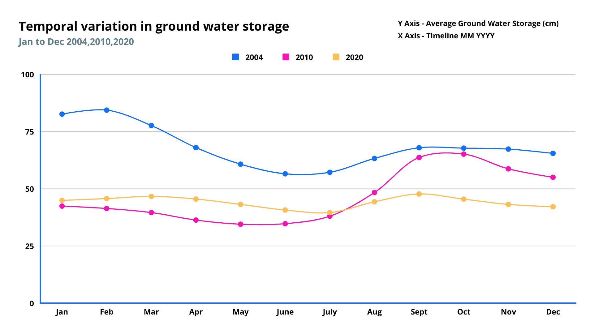
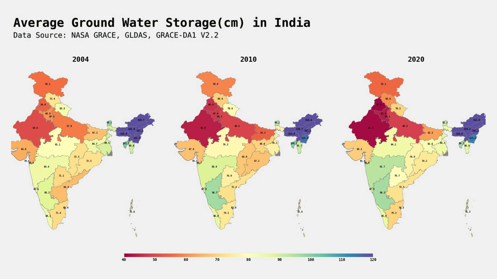
Measures and monitors seasonal changes in groundwater
Frequency
Monthly
Spatial resolution
0.25 Degree
Coverage
Global
Data type
Vector
Availability
From 2010
Expected Launch
