Products / Power Plant Emissions
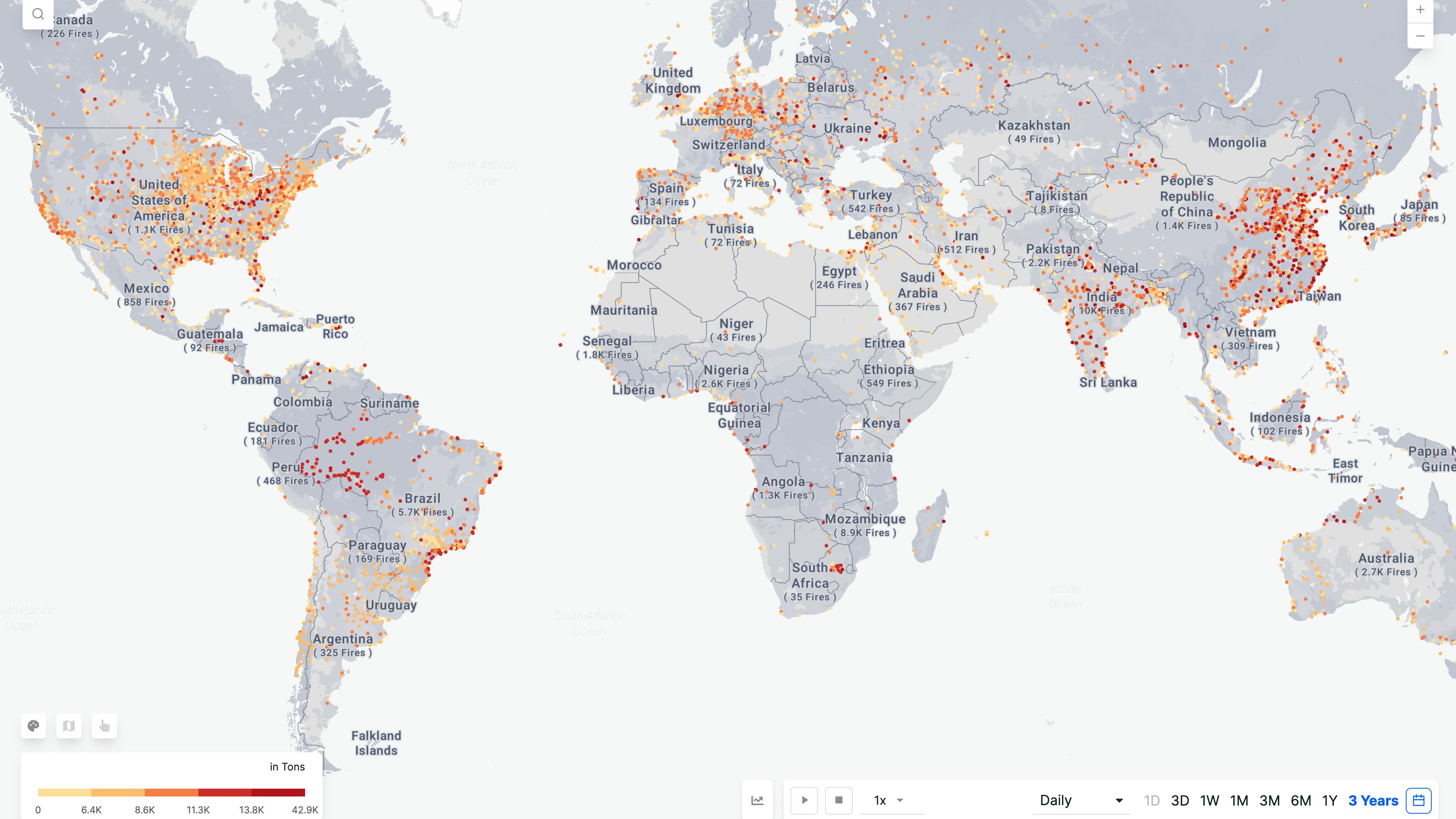
It monitors and measures CO2 emissions from power plants without relying on on-site sensors and delivers a standardized dataset of CO2 emissions by leveraging machine learning and earth-observation datasets.
Monitoring from power plants using satellite data offers several benefits.
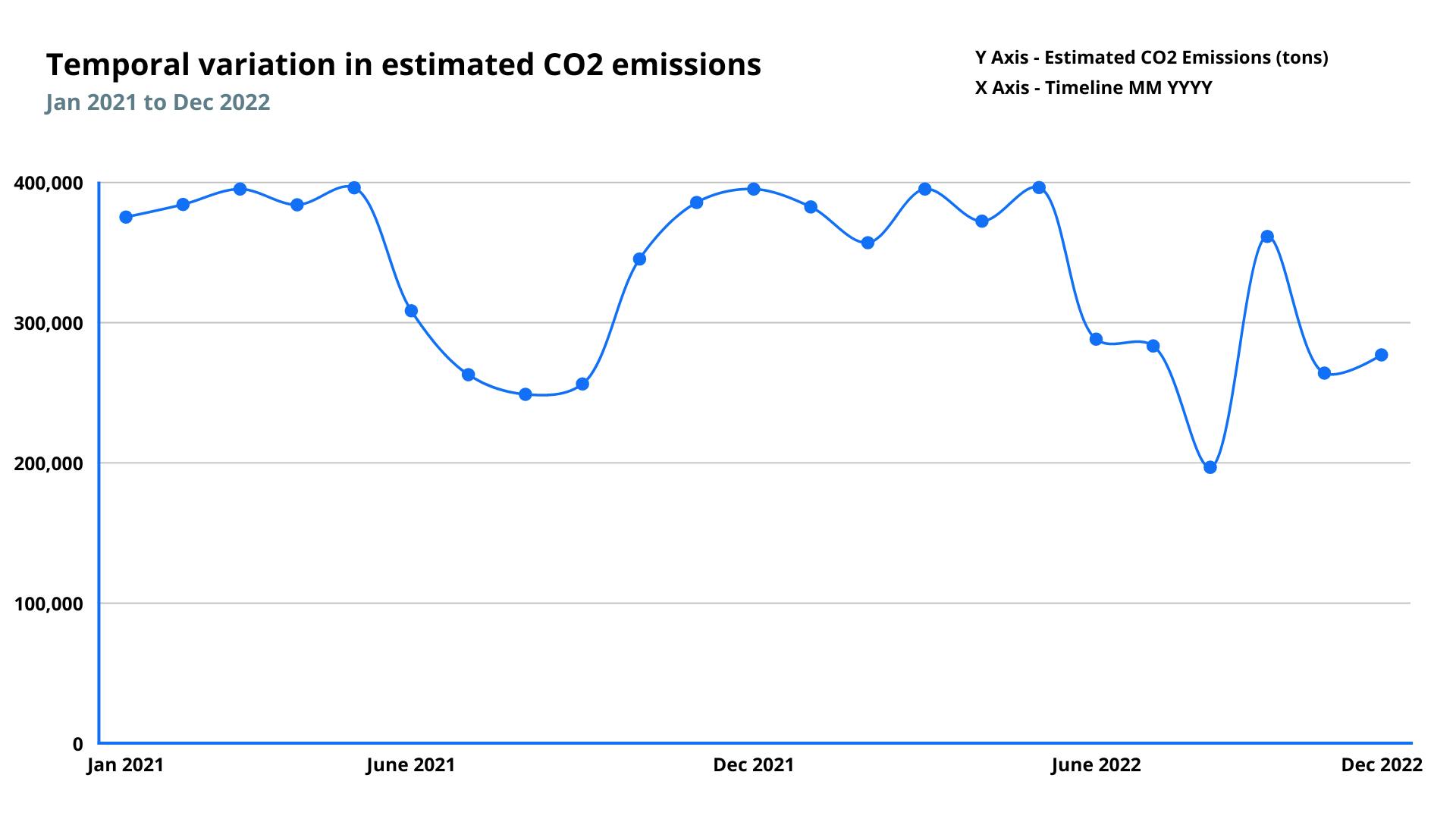
- Enhanced environmental monitoring: It provides a consistent, wide-scale means of monitoring emissions from power plants, which can be useful for identifying trends and trends in emissions over time. This information can support environmental monitoring and management efforts, such as identifying areas at risk of air pollution.
- Improved compliance with regulations: It can help ensure that power plants comply with emissions regulations by providing an independent data source on emissions levels. This can be especially important in areas where ground-based monitoring may be limited or unreliable.
- Reduced costs: It can provide a cost-effective means of monitoring emissions from power plants, eliminating the need for costly ground-based monitoring systems. This can be particularly beneficial for large power plants in remote or difficult-to-access areas.
- Improved transparency: It can provide an independent, transparent source of information on emissions from power plants, which can be useful for promoting accountability and public trust. This can be particularly important for power plants located in areas with high levels of public scrutiny.
Parameters
Power Generated
Refers to the amount of power generated (megawatt hours) by a power plant on a given day.
Carbon Emissions
Refers to the mass of CO2 (in tons) emitted to the atmosphere by a power plant on a given day.
Features
Methodology
The estimates of carbon dioxide emissions are based on machine learning models. ML models are trained using signals from satellite-based sensors such as atmospheric gas concentrations, weather data such as temperature and humidity, and nighttime luminescence, as well as the power plant's specific information, including its capacity and fuel type.
Frequency
Daily
Spatial resolution
N/A
Coverage
Global
Data type
Vector
Availability


