Products / Water Quantification
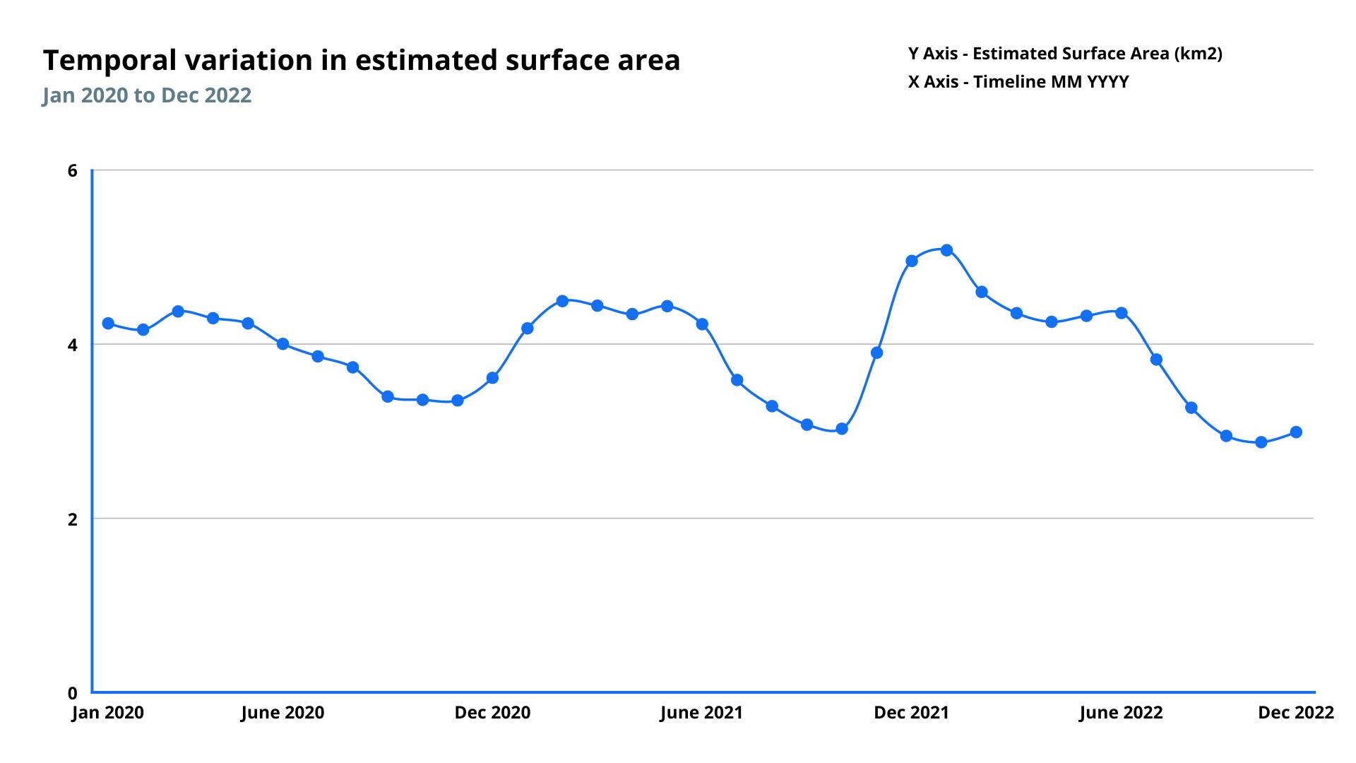
The surface water quantification dataset provides historical and near-real-time surface water extent of various inland surface water bodies. Satellite-based monitoring of surface water bodies allows continuous monitoring, detecting long-term changes, and identifying flood and water shortage areas.
The data can be used to monitor inland water bodies in several ways, including monitoring large areas consistently over time, providing access to the data in near real-time, and allowing access to data in areas that may be difficult to monitor in person or expensive to monitor.
Parameters
Area
Surface water refers to any water body above the ground, such as lakes, reservoirs, streams, wetlands, rivers, and creeks. Surface water area refers to the extent of the surface water body.
Depth
Water level above ellipsoid
Perimeter
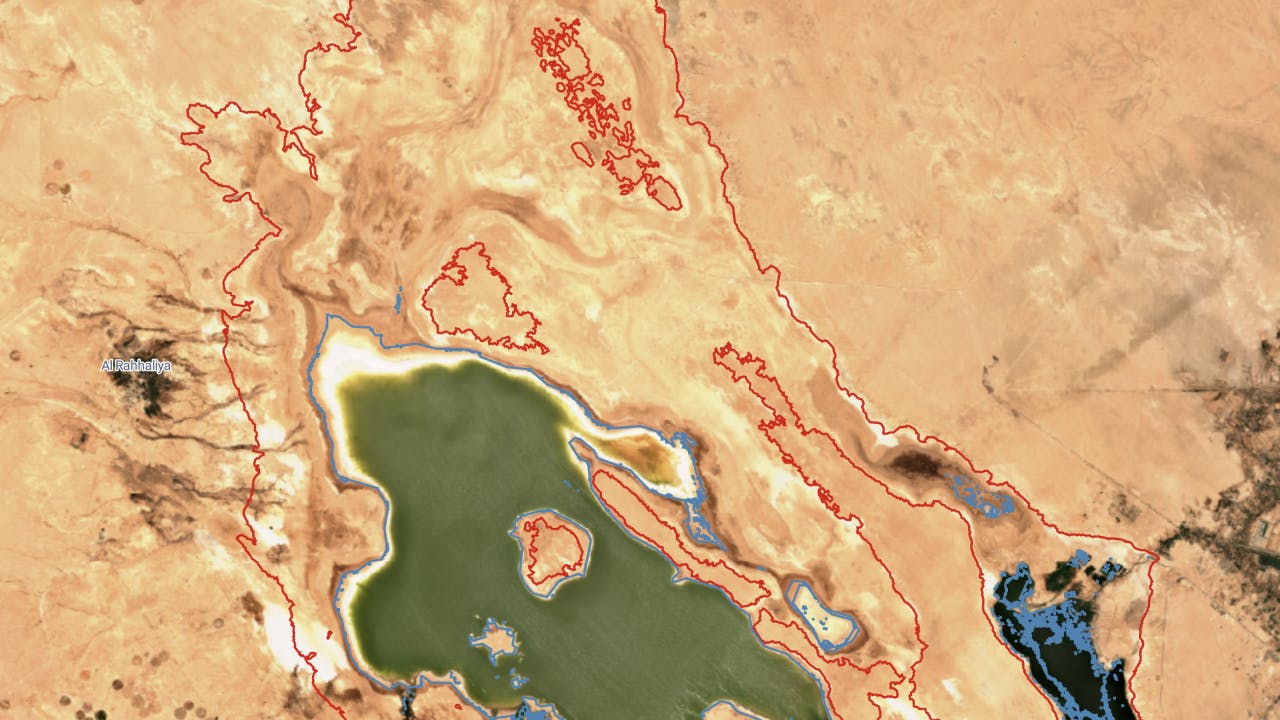
The perimeter refers to the total length of the boundary that encloses the lake or a reservoir. It represents the distance around the outer edge of the lake.
Features
Methodology
It is derived using the spectral signals from satellite data (primarily Sentinel-2) to classify water bodies, monitor changes & tracks parameter such as surface area, perimeter & volume.
Frequency
Weekly
Spatial resolution
10 meter
Coverage
Global
Data type
Vector
Availability


